Supplement Geography Lessons with the Monarch and TGIL

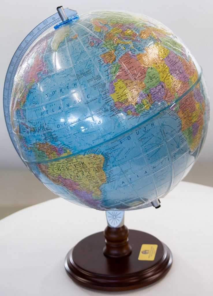
Understanding the world around you can be difficult when you cannot see it clearly. A tactile globe and atlas are great resources, but they merely provide students who are blind or low vision a glimpse of their surroundings. APH’s Tactile Graphic Image Library (TGIL) contains over 500 tactile images that can be used in geography class to enhance learning.
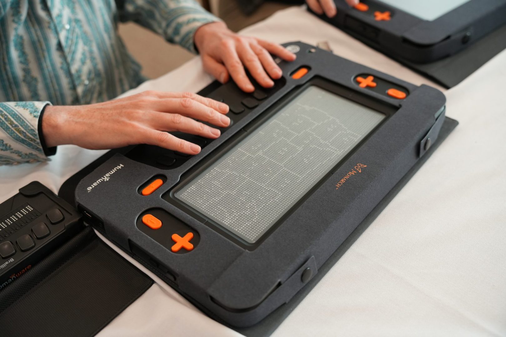
Teachers, students, and transcribers can register for a free TGIL account online and emboss graphics for themselves or download and view them on the Monarch, APH’s new 10-line by 32-cell braille display that can render braille and tactile graphics on the same surface. Read our Monarch and TGIL blog to learn more.
Users can search the TGIL by keyword and category. The Social Studies category contains globe outlines, fault line diagrams, hemisphere maps, different projects, and much more. Subcategories for this subject include Canada, United States, Central America, South America, Africa, Asia, Europe, and Oceania. The Historical category has a map of Pangaea, the 13 colonies, the Louisiana Purchase, multiple representations of world empires, ancient Egypt, and Mesopotamia, among others. The final category, Flags, consists of flags from countries around the world. Outside of Social Studies, users can explore the Monuments, Landmarks, and Buildings category where they will find tactile graphics of the Liberty Bell, Big Ben, Stone Henge, the Eiffel Tower, the Leaning Tower of Pisa, etc.
Teachers recently introduced their students to a map of the United States on the Monarch.
One said, “The students were amazed studying the 50 states map. They were excited to get the map so quickly and further grasp where each state was located.” For the first time, students no longer have to wait for a Teacher of the Visually Impaired (TVI) to adapt a map or graphic for them if the one in their braille textbook isn’t readable. Instead, they can explore the graphic alongside their sighted peers. “The (United States) map corresponded to a unit the student had just started and was in line with what the class was doing,” a teacher said. “She was eager to explore and asked a lot of questions about the graphics.” Another educator added, “My student talked about road trips she has taken with family and traced the lines of the states. She talked about where she is from and other states she has been to. She was so excited to explore everything in this way!”
One of the skills students learn when utilizing graphics on the Monarch is the ability to zoom in and out of the image, which allows them to examine more details of a map or picture. When asked what strategy they used to teach the idea of physically zooming into a digital document, a teacher responded, “I actually didn’t have to use a strategy here—once her hands were on the map of the US, she figured it all out!” Aside from pressing the zoom in and out keys, students can perform the same action by using the point and click method. “The idea of pointing and clicking to go to specific areas on the map was very exciting,” another teacher said.
The United States map is just the beginning. Students can trace the lines of common historical monuments and can preview places they want to visit while also mastering tactile graphic literacy skills. As students utilize the TGIL in their geography classroom, they will widen their tactile and mental view of the world.
The Monarch is on sale in September 2024. Stay tuned to the website, APH News, and your email inbox to find out when the device will be for sale.
Share this article.
Related articles

Building Your Social Studies Toolkit
APH has compiled a collection of products that will help make any social studies classroom more accessible to blind or...

Where in the World Is Our Guest?
The Virtual ExCEL Camp is a having guest speaker from somewhere far from our home in the United States. Let’s...
